The USDA (United States Department of Agriculture) Plant Hardiness Zone Map is used to determine the suitable growing conditions for various plants. It divides the United States and Canada into different zones for plant habitat requirements. The map is divided into 13 zones, each representing a 10-degree Fahrenheit difference in temperature. It helps plant growers to understand which area has what kind of surroundings and climate and which plants can survive/ thrive at that particular location.
To find the specific hardiness zone for a particular location, you can use the USDA’s interactive map by entering your zip code or clicking on the map. The map provides a visual representation of the different zones across the country.
Here’s an example for India:
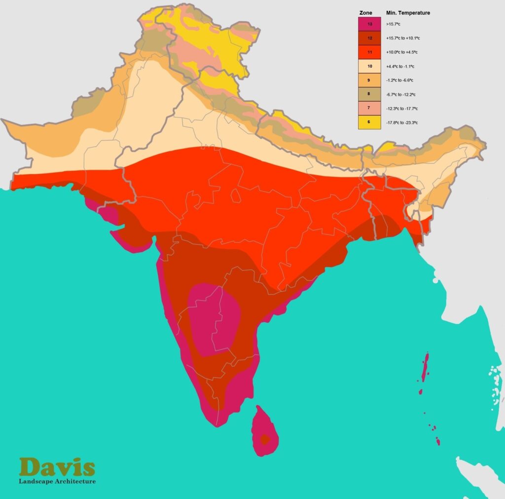
Image source: Davis Landscape Architect
To check for United States: https://planthardiness.ars.usda.gov/
To check Hardiness zone for India : https://www.mashrita.com/usda-hardiness-zones-context-india-major-cities/